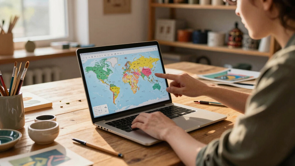
Map Design World Capitals Voronoi Researchers used spherical Voronoi diagrams based on capital cities to redefine world territories, impacting geographic and political mapping. This Design Girl GirlJune 12, 2026 View Post
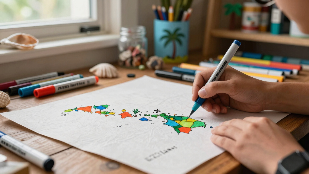
Map Design Handmade Hawaiian Islands Map An artist has created detailed handmade maps of Hawaii, including the full 1,500-mile archipelago and the main islands, filling a gap in online geographic representations. This Design Girl GirlJune 2, 2026 View Post